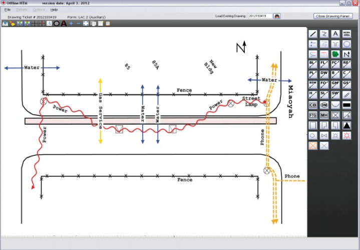
Electronic Drawing
Our System
A comprehensive electronic drawing software which helps provide a visual representation of utilities, masses, and their location within an excavation work area. These electronic versions of drawings are much clearer to read when compared to conventional hand-drawn sketches. All of the locate specific information is inputted directly from the program, and then transferred to output files. Our program also allows for direct emailing to clients, digital archiving, ‘as-built’ map integrations, and many other features.
